
TRAVEL LOGISTICS · SKARDU, GILGIT-BALTISTAN
Skardu to Basho Valley Distance: The Real Route, Drive Time & What to Expect
A reality-checked breakdown of the distance, the two-stage road, and what actually happens once the pavement ends — from the ND team based in Skardu.
Quick Facts: Skardu to Basho Valley
| Distance from Skardu | Approx. 40–45 km one-way |
| Total drive time | Approx. 2.5–3 hours one-way |
| Road surface | Paved to Basho Bridge, then 4×4-only jeep track |
| Vehicle needed | Any car to Basho Bridge; 4×4 required beyond it |
| Altitude in the valley | Roughly 2,700–3,600 m (8,800–11,800 ft) |
| Best months | June–September (July/August busiest) |
| Permit required | None for a general visit |
| Mobile network | Little to none past Basho Bridge |
Figures are cross-checked averages from multiple ground guides and the Gilgit-Baltistan Tourism Department — see the note on source variance below.
How Far Is Basho Valley From Skardu?
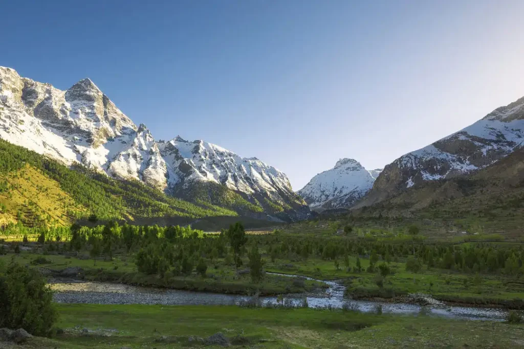
Basho Valley sits roughly 40–45 km from Skardu city, and the drive takes about 2.5 to 3 hours one-way — not the 90 minutes you’ll see quoted on a few sites. The gap between “42 km, 1.5 hours” and the real trip comes down to where each source stops measuring: some quote only the paved stretch to Basho Bridge, others quote the full run into the meadows where most travelers actually camp. Basho Valley is also known locally as Sultanabad Meadows, named after the village of Sultanabad that sits at its entrance, and it falls within Rondu (also spelled Roundu) tehsil of Skardu District.
If you are organizing a broader trip across Skardu Valley, plan this drive early so you reach the valley floor before mid-day traffic on the main highway.
Route Breakdown: The Two-Stage Journey
Stage 1 — Skardu to Basho Bridge (~40 km, ~1 hour)
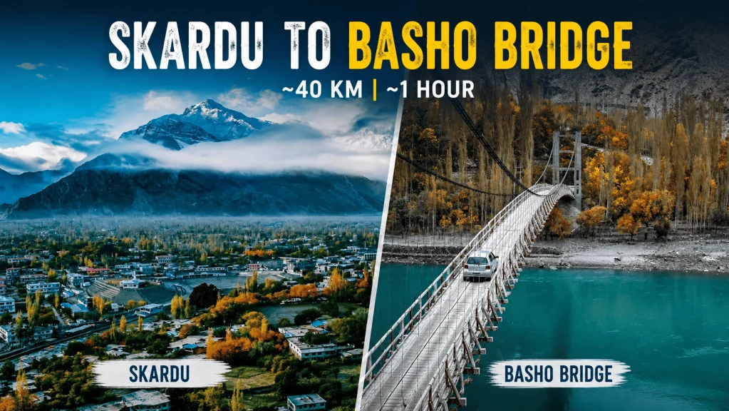
You leave Skardu on the Jaglot–Skardu Road (JSR), the same paved highway that runs along the Indus toward Gilgit. This stretch is smooth, well-maintained, and open to any vehicle — no jeep required. Expect villages, terraced fields, and steady river views. The hanging Basho Bridge marks the end of the easy part.
Stage 2 — Basho Bridge to the Meadows (~8–10 km, ~1.5–2 hours)
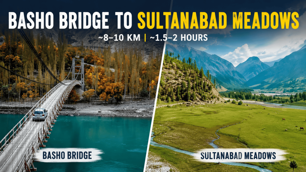
Once you cross the bridge, the track climbs steeply — a gain of close to a thousand metres over a short distance, per local jeep drivers — on a narrow, rocky, single-lane road with no railings on some of the older wooden crossings. This section is jeep-only; regular cars and most bikes don’t attempt it. If you don’t have a high-clearance vehicle, you can rent a 4×4 Prado in Skardu with a driver who knows how to handle the rocky switchbacks. It’s also the part that turns dangerous fastest: after rain or fresh snow, sections can wash out or become impassable, so drivers generally won’t run it in poor weather.
Caution: avoid this stretch during or immediately after storms. If you’re set on a same-day return, build in a weather buffer — don’t schedule Basho on your last available day.
Why the Numbers Vary So Much Online
Search “Skardu to Basho Valley distance” and you’ll find everything from 20 km to 70 km, and travel times from 45 minutes to 3.5 hours. Most of that spread isn’t error — it’s inconsistent measuring points. Some guides quote distance to Basho Bridge only. Others quote distance to Sultanabad village. A few quote the deeper camping meadows further in. None of those are wrong exactly; they’re just answering slightly different questions. We’ve quoted the full door-to-door range — Skardu city to the main meadows — because that’s the number that actually matters for planning your day.
Best Time to Visit
| Season | Conditions | Verdict |
|---|---|---|
| June–September | Mild days (15–20°C), cool nights, jeep track fully open | Best window — July/August busiest |
| May & October | Cooler, fewer crowds, higher weather risk | Workable with a flexible schedule |
| Nov–April | Heavy snow, track frequently blocked | Not recommended without specialist winter gear and a guide |
What You’ll Actually Find in Basho Valley
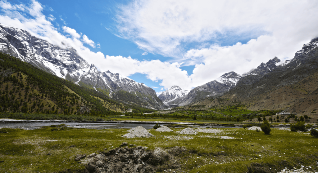
Basho isn’t built for tourism the way Deosai or Shangrila are, and that’s the point. The “Basho” name itself comes from the Balti word for raisins or dried grapes — a nod to the barberry bushes and grape-drying that still happens in Sultanabad village today.
- Sultanabad Meadows — the wide, open grazing meadows above the village that most itineraries are built around. This is where camping happens.
- Basho Forest — dense pine and juniper cover along the approach, home to ibex, markhor, deer, and snow cock. The Gilgit-Baltistan Tourism Department also lists snow leopards among the wider forest’s wildlife — sightings are exceptionally rare, but it’s genuine habitat, not marketing.
- Basho River (Basho Nala) — glacier-fed water running the length of the valley, with a waterfall reachable by a short hike from the main camping area, per local guide accounts.
- Sultanabad village — a small, private, working community at the valley’s entrance. It’s not set up as a tourist attraction, and locals generally ask that visitors respect that.
Where to Stay
There are no hotels inside Basho Valley itself, and that’s unlikely to change soon.
- Camping — the standard option. Bring your own gear or rent tents, sleeping bags, and stoves in Skardu before you leave.
- Homestays & basic guesthouses — a small number of family-run rooms exist in Sultanabad village, with home-cooked Balti meals. Book through a local operator; phone coverage for direct booking is unreliable. We can arrange your transport, village stays, and campsite gear as part of our custom Skardu tour packages.
- Skardu city — the practical base for anyone doing Basho as a long day trip rather than an overnight.
Permits, Connectivity & Safety
- Permits: none required for a general visit, for domestic or international travelers. If you plan to fish in the Basho streams, a separate permit from the local fisheries department applies.
- Connectivity: mobile signal is unreliable past Basho Bridge and largely absent in the meadows. Tell someone your route before you go.
- Altitude: the valley sits at roughly 2,700–3,600 m depending on where you stop. Pace yourself on the first day and watch for headaches or shortness of breath.
- Road safety: travel the jeep track in daylight only, and never during or right after rain or snowfall.
- What to pack: water, warm layers (nights can drop below 5°C even in summer), a basic first-aid kit, and a power bank.
Local Culture & Etiquette
The Balti families of Sultanabad are known for warm hospitality, but the village itself is residential and, for many families, closely tied to religious practice. A few things go a long way: always ask before photographing people or homes, keep music off as you pass through the village, and dress modestly. None of it is a formal rule — it’s just how you get invited in for tea rather than waved past.
Continue Planning Your Skardu Trip
Deosai Jeep Safari
Another rugged, 4×4-only route from Skardu — with nationality-tiered park entry fees explained upfront.
Skardu Adventure Tour
A full multi-day Skardu itinerary if you’d rather have Basho handled as part of a bigger plan.
Skardu Trip Cost Guide
See realistic budget ranges for a full Skardu trip, jeep hire included.
Frequently Asked Questions
How far is Basho Valley from Skardu?
Approximately 40–45 km one-way, made up of about 40 km of paved road to Basho Bridge and a further 8–10 km jeep track into the meadows.
How long does the journey take?
Around 2.5 to 3 hours one-way — roughly 1 hour on the paved section, then 1.5–2 hours on the jeep-only track. Add time for weather delays.
What’s the best way to get there?
Hire a 4×4 with a local driver in Skardu. Regular cars are fine as far as Basho Bridge, but the track beyond it requires a jeep and someone who knows the road.
Is Basho Valley accessible in winter?
Access is limited. Heavy snowfall regularly blocks the jeep track from November through April, and it isn’t recommended without specialist gear and a local guide.
Do I need a permit to visit?
No permit is needed for a general visit. A separate fishing permit from the local fisheries department applies only if you plan to fish in the Basho streams.
Can families with kids travel there?
Yes, but come prepared for altitude, a genuinely rough final stretch, and very limited facilities once you’re in the valley.
Is there mobile network or internet?
Generally no, once you’re past Basho Bridge. Treat it as a genuine digital detox and let someone know your plans before you set off.
What’s the best month to visit?
July and August offer the most reliable weather and fullest meadows, though they’re also the busiest. June and September are quieter with slightly cooler nights.
By Shahid Hashmi — Operations Manager, Northern Discover
Skardu-based, runs ground logistics and jeep routes across Baltistan for Northern Discover.
Ready to Plan the Trip?
Tell us your dates on WhatsApp and we’ll confirm a 4×4, driver, and camping setup for Basho — or fold it into a longer Skardu itinerary.
Thank you for this well-researched and thorough article. The insights you’ve shared are incredibly valuable, and I’ll be referring back to this post often.