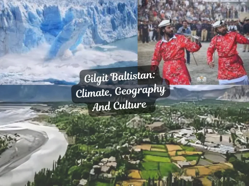
Planning a Trip to Gilgit Baltistan? Climate, Geography & Culture You Must Know Before You Go
Ever planned a trip to a place where K2 stares you down, turquoise lakes hide disaster stories, and languages change valley-by-valley? This guide gives travellers, researchers, and explorers the full picture — Gilgit Baltistan Climate, Geography, and Culture — packed with practical planning, safety warnings, and local insight.
Quick facts & what you’ll learn
Where: Northern Pakistan — an administrative territory made up of Gilgit, Baltistan and Diamer divisions with many districts and high-altitude plateaus.
Why it matters: Home to K2, major glaciers, unique languages, and a climate that can change from calm to dangerous within hours.
What you’ll get here: clear seasonal guidance, hazards and warnings, cultural dos & don’ts, route and packing checklists, and a traveler-friendly view competitors miss.
Climate — patterns, risks, and when to visit
Gilgit-Baltistan is not one climate — it’s a patchwork. Expect mild, cool, and cold macro-climates; arid to semi-arid rainfall regimes; four rainy seasons (winter, pre-monsoon, monsoon, post-monsoon); and acute local storms in spring. These microclimates determine when roads are open, when rivers flood, and when high passes are traversable.
⚠️ Warning: Accelerating glacier melt and more intense monsoon/cloudbursts have turned previously “safe” summer trips into flood and landslide risks in recent years. Treat seasonal predictions as guides, not guarantees.
What the climate means for travellers (quick):
- Summer (June–Aug): Peak season in many valleys — warm days, cooler nights; good for high-altitude trekking but rising cloudburst risk.
- Spring (Apr–May): Often unpredictable — local thunderstorms can bring heavy rain and landslides.
- Autumn (Sep–Oct): Best window for stable weather and clear views; roads usually open.
- Winter (Nov–Mar): Many passes and roads closed; Winters are long and harsh in Skardu/Astore.
💡 Tip: Put insurance + flexible return tickets + local guide on non-negotiable lists in summer and shoulder seasons.
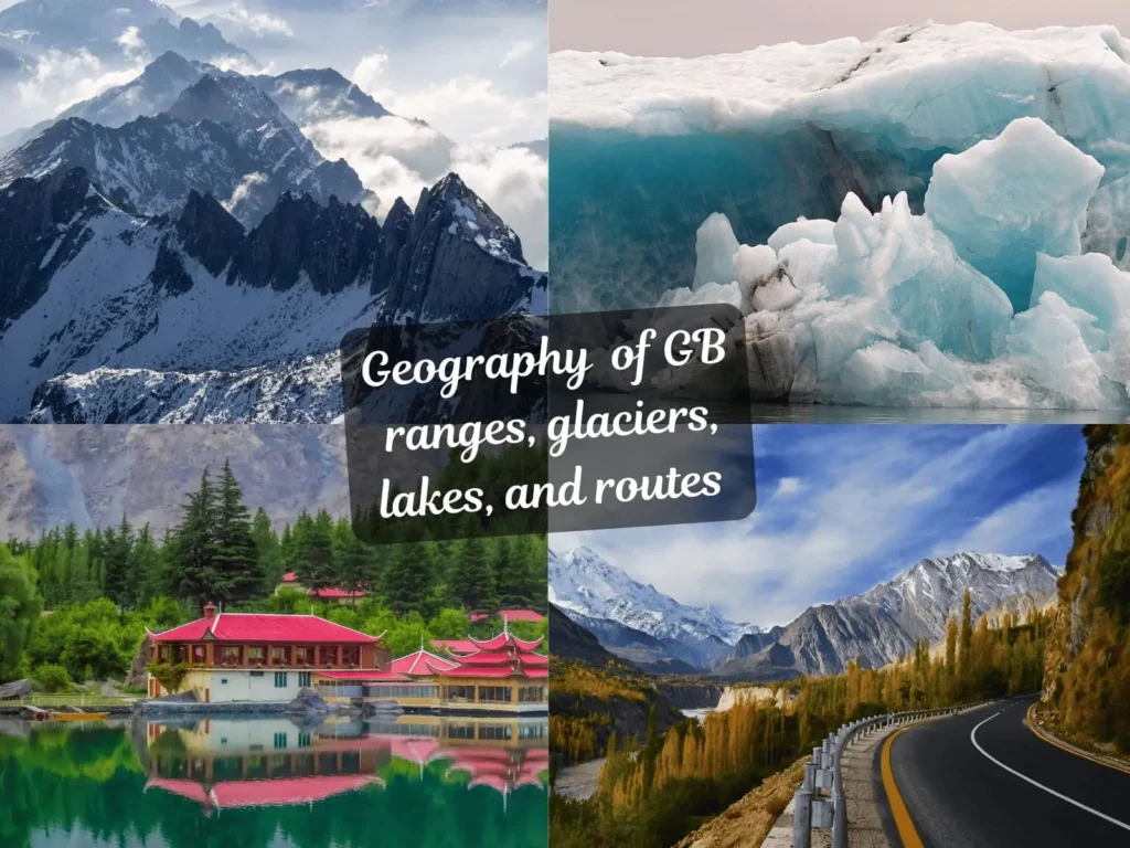
Geography — ranges, glaciers, lakes, and routes

Gilgit-Baltistan sits where the Himalayas, Karakoram and Hindu Kush converge. It contains world-class giants: K2, Nanga Parbat, and plateaus like Deosai. Major glaciers (Baltoro, Hispar) and lakes (Attabad, Satpara, Shandur region) shape travel and risk. The Indus and tributaries cut deep valleys that host the main roads and settlements.
📍 Local insight: Many “short” distances on maps take much longer in reality due to altitude, narrow roads and landslide-prone sections (e.g., Karakoram Highway stretches around Attabad Lake).
Culture — languages, festivals, food, dress
Gilgit-Baltistan is linguistically rich: Shina, Balti, Burushaski, Khowar, Wakhi — Urdu works as the lingua franca. Social life centers on community and traditional festivals — Shandur/High-altitude polo, Jashn-e-Baharan, and local harvest celebrations are big draws. Traditional dishes like Chapshuro and local breads are essential to the experience.
💡 Tip: Learn a few greetings in the local language of the valley you’re visiting — hospitality increases, bargaining softens, and storytelling opens doors.
Traveler playbook — month-by-month, packing, safety
Best windows by valley (short):
- Hunza / Gojal: May–Oct (best: Sep for colors and stable weather).
- Skardu / Deosai: Jun–Sep (Deosai opens mid-summer; nights cold).
- Gilgit & road to Chilas: May–Oct, with care during pre-monsoon storms.
Packing checklist (bullet):
- Layer system (base + fleece + shell)
- Sun protection (high UV) + sunglasses
- Portable water filter or purification tablets
- Personal first-aid + altitude sickness meds (acetazolamide if prescribed)
- Batteries/power bank (power cuts common)
⚠️ Hazard box: Watch for glacial lake outburst floods (GLOFs) (Attabad 2010 is a case in point), landslides and sudden cloudbursts. Locals often know which stretches are risky — hire them.
Actionable planning checklist (step-by-step)
- Choose valley + month (use the playbook above).
- Book flexible travel and local guide (book refundable options).
- Get permits if required (some high passes require permits).
- Prepare hazard kit (first-aid, headlamp, waterproofs).
- Set emergency contacts — share itinerary with someone local.
- Monitor weather/road updates within 48 hours of travel.
- If trekking, acclimatize 24–48 hours per 1,000 m gained above 2,500 m.
FAQs
1. When is the best time to visit Gilgit-Baltistan?
Late spring to early autumn is typical; September often offers the most stable weather and clear skies for vistas.
2. Is it safe to travel during monsoon?
Monsoon months increase landslide and cloudburst risks. If you must travel, hire local guides, avoid overnight road travel in risky stretches, and register plans with local authorities.
3. What languages should I learn?
Urdu for general communication; learn a few greetings in Shina, Balti, or Burushaski depending on the valley.
4. How serious is the glacial melt risk?
Very serious and accelerating. Expect more glacial lakes, unstable outlets, and episodic floods — incorporate risk planning into all itineraries.
5. Do I need special permits to travel?
Yes, some border valleys and high passes require permits. Always check locally before finalizing your route.
6. What about altitude sickness?
If trekking above 2,500 m, acclimatize gradually. Carry prescribed altitude sickness medication if needed.
7. What local foods should I try?
Chapshuro, local breads, apricot-based dishes, and regional soups are must-tries.
8. What kind of vehicle is best for travel?
A 4×4 vehicle is recommended for most high-altitude valleys due to rough and landslide-prone terrain.
9. Are markets and shopping safe?
Yes, local markets are safe and lively. Bargaining is common, but respectful interaction is appreciated.
10. How can I travel responsibly?
Carry reusable bottles, avoid littering, respect local customs, and support community-run lodges or guides.
Conclusion
Gilgit Baltistan offers one of the planet’s most dramatic mixes of climate, geography and culture — but that beauty comes with complexity. Plan by valley, respect local knowledge, prepare for rapid weather swings, and use this guide as both your field manual and safety checklist.
Call to Action: Share your planned dates and valley below and I’ll draft a compact ND-ready itinerary (day-by-day) with local guide contacts and a risk matrix.
