 A Historical Timeline of Gilgit Baltistan
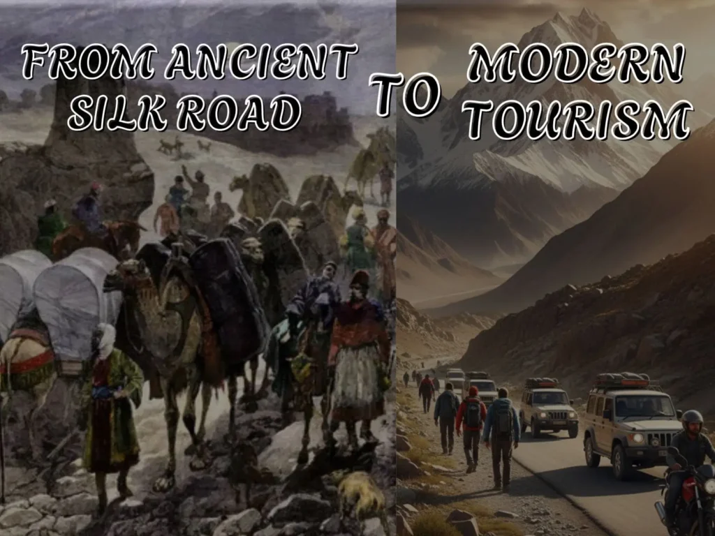
The history of Gilgit Baltistan starts from caravan crossroads and rock-inscriptions to one of South Asia’s fastest-growing adventure-tourism regions — and what does that mean for you as a traveler, researcher, or explorer? This post gives you a compact, traveler-friendly historical timeline, practical travel guidance, and unique local insights you won’t find in ordinary guides.
History of Gilgit Baltistan (why it matters)
Purpose & value: You’ll get a compact historical timeline that ties archaeology, geopolitics, and transport infrastructure to modern tourism — plus concrete travel planning steps and local tips so you can turn history into an intentional trip.
What you’ll learn: key historical milestones, why rock inscriptions matter, how roads changed local life, what to pack, when to go, hidden places, and a travel-ready timeline.
A concise timeline — the big eras
- Prehistoric → Early Historic (before 1st c. BCE – 1st c. CE): local societies, mountain trade beginnings.
- Silk Road and Buddhist era (1st c. BCE – 8th c. CE): networks of trade and religion; rock carvings & monasteries.
- Medieval Islamicization & local principalities (8th–18th c.): conversion waves, fortified hill states (Hunza, Nagar).
- Great Game & British influence (19th–mid 20th c.): strategic contests, mapping and political re-ordering.
- Partition and the Gilgit events (1947–48): political realignment and administration changes.
- Infrastructure & tourism boom (1970s–present): Karakoram Highway and road access → modern tourism surge.
Ancient & Silk Road connections (first millennium BCE – 8th c.)
Gilgit Baltistan was not a single “road” but a network of arteries linking Kashmir, Central Asia, and the Indus. Evidence: tens of thousands of rock carvings and inscriptions (names, dates, prayers) scattered across Hunza, Nagar, Shatial, and Chilas that tie the region into pre-modern trade and pilgrimage networks.
📍 Local insight: Visit Haldikish (near Hunza) and the rock-inscription sites early in the day — light is better for photographing petroglyphs and you’ll avoid peak heat.
Why this matters to travelers: the landscape is layered — you’re hiking through trade routes used for silk, spices, and ideas. That sense of continuity is tangible at carved stones and old caravan rest stops.
Medieval transitions: Buddhism → Islam → regional kingdoms (8th–18th c.)
Buddhist monasteries, stupas, and carved imagery show Buddhism’s long presence; later, waves of Muslim missionaries, trade shifts, and political marriages reshaped religious identity. Many surviving forts (Altit, Baltit in Hunza) are physical bookmarks of that transition.
💡 Tip: Ask local guests in Baltit/Altit about oral legends — you’ll get stories that never make it into academic papers.
The Great Game & colonial entanglements (19th–mid 20th c.)
In the 19th century, British India and Tsarist Russia jockeyed for influence in the high mountains. The British established the Gilgit Agency and mapped the region for strategic reasons; the local hill-states (Hunza, Nagar) retained princely structures until the mid-20th century.
1947–1948: Gilgit’s revolt and modern political shift
In the tumult of 1947–48, local forces (the Gilgit Scouts) played a decisive role in changing the region’s governance, leading to Gilgit coming under Pakistani administration rather than princely Jammu & Kashmir control. The events of 1947 are a core part of local memory and formal celebrations in the region each November.
Karakoram Highway, roads, and the tourism boom (1970s–present)

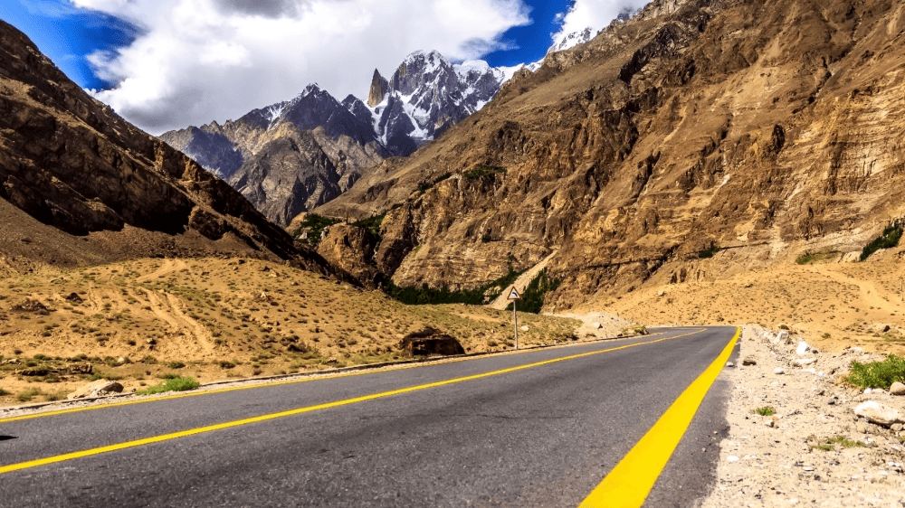
The Karakoram Highway (KKH) — built with Chinese collaboration in the 1970s–80s — follows one of the traditional north-south arteries and transformed access. Roads and easier cross-border trade opened valleys to motorized traffic, reshaping economies and enabling modern adventure tourism and logistics.
⚠️ Warning: Road access brings both opportunity and risk — landslides, seasonal closures, and (increasingly) climate-driven flood events can disrupt plans. Always have contingency transit days.
Practical traveler timeline — how to plan (step-by-step)
- Decide season: May–September for most valleys; October for quieter vistas; winter only for experienced winter-travelers.
- Choose hubs: Gilgit (administrative), Skardu (Baltistan), Karimabad (Hunza). Book first-night hotels in advance.
- Book transport: Flights (Islamabad→Gilgit/Skardu) sell out during peak season; otherwise, plan 2–3 buffer days for road travel on the KKH.
- Permits & checks: Some border/remote areas need permits; check current rules with the Gilgit Baltistan tourism office.
- Sample 7-day plan:
- Day 1: Gilgit arrival + city sights
- Day 2–3: Hunza (Baltit, Altit, Haldikish)
- Day 4–5: Passu/Khunjerab (day trips) or drive to Skardu
- Day 6–7: Skardu lakes + return
- Packing essentials: layered clothes, sturdy boots, a power bank, a local SIM (Telenor/Zong perform best), first-aid, and high-energy snacks.
Safety, seasonality & a single warning you must read
The climate is changing fast. Glacial melt, cloudbursts, and unpredictable monsoons have caused sudden floods and road washouts in recent years. If you travel, build buffer days, check local weather updates, and register plans with your hotel or local guide.
FAQs
- Is Gilgit Baltistan safe to visit?
Yes, for most tourists — but check current travel advisories, local weather, and avoid monsoon months in risky areas. Use licensed local guides for remote treks. - When is the best time to visit?
Late May to early October for most valleys. For high passes (Khunjerab), the summer months are safest. - Do I need permits?
Some areas require permits or registration; check with the tourism office or your local operator. - How long should I allocate?
Minimum 7–10 days for a multi-valley overview; 2–3 weeks to explore deeply or for trekking. - Are there good medical facilities?
Basic facilities in Gilgit and Skardu; serious emergencies require evacuation to larger cities. - Can I use credit cards?
Cash is king in many villages — withdraw in Gilgit/Skardu before heading into smaller valleys. - How do I respect local cultures?
Dress modestly, always ask before photographing people, and support local guides and homestays. - Where are the best rock inscriptions?
Haldikish (Hunza), Shatial, and Chilas — best with a local archaeologist or guide. - Are there organized tours?
Yes — for cultural circuits, jeep safaris, and trekking. Verify guides’ credentials. - Is winter travel possible?
Yes, but only for experienced travelers with proper gear and local support. - How has the Karakoram Highway changed life?
It increased trade, tourism, and accessibility — but brought environmental pressures and social change. - What languages are spoken?
Shina, Burushaski, Balti, Wakhi, and Urdu are common; English is spoken in tourist hubs. - Are women safe to travel solo?
Many women travel solo safely; local customs require modesty and situational awareness. - How to reduce footprint?
Use local guides, avoid single-use plastics, respect trails, and local water sources. - Best time for photography?
Golden hours (sunrise/sunset); spring blossom and autumn clear skies are both excellent.
Conclusion
Key takeaways: History of Gilgit Baltistan is a layered timeline — Silk Road arteries, spiritual crossroads, colonial geopolitics, and modern roads that reshaped access and livelihoods. Knowing the history makes you a better traveler: you’ll not only see landscapes but understand the routes and stories that shaped them.
“A Historical Timeline of Gilgit Baltistan: From Ancient Silk Road to Modern Tourism” gives you the context and a travel-ready action plan.

 A Historical Timeline of Gilgit Baltistan